uk
uk
Home>Products tagged “uk”
-
- Out of Stock
- Sync, England, Ireland & Scotland
No. 4068 Bath, England 1910
- Bath from Baedeker’s “Great Britain” Traveler’s Handbook nicely detailed map of this historic town showing the railway, major roads and several important buildings published in 1910 measures approx 6" x 4"
- Read more
-
-
- Sync, England, Ireland & Scotland
No. 1308 Great Britain, 1744
- $68.00
- "Bretagne" (Carte de la Grande Bretagne) by Claude Buffier from "Geographie Universelle" published by the Academie des Sciences of Paris, 1744 with later hand-colored outlines measures approx 5 1/2" x 7"
- Add to cart
-
- England, Ireland & Scotland
No. 3516 British Isles, 1750
- $68.00
- "Isles Britanniques" by Robert Vaugondy from "Methode Abregee et Facile pour Apprendre la Geographie" dedicated to Mme. Crozat and published in 1750 with later outline hand-coloring measures approx 6" x 6"
- Add to cart
-
- Out of Stock
- Sync, England, Ireland & Scotland
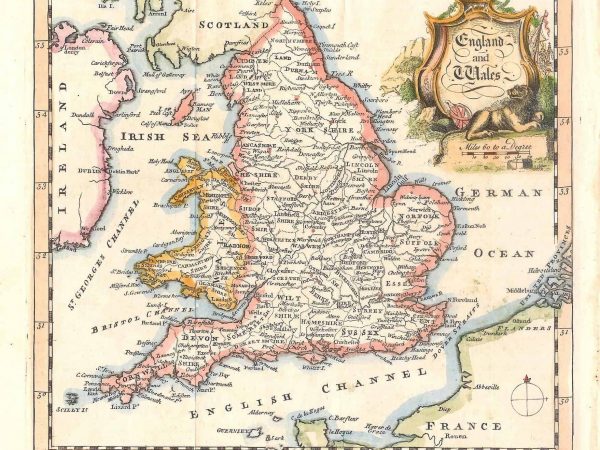
No. 687 England and Wales, 1751
- "England and Wales" by Thomas Jeffrys from Salmon's "Geography" published in London, 1751 with later hand-coloring measures approx 7 1/2" x 9 1/2"
- Read more
-
-
- Out of Stock
- Sync, England, Ireland & Scotland
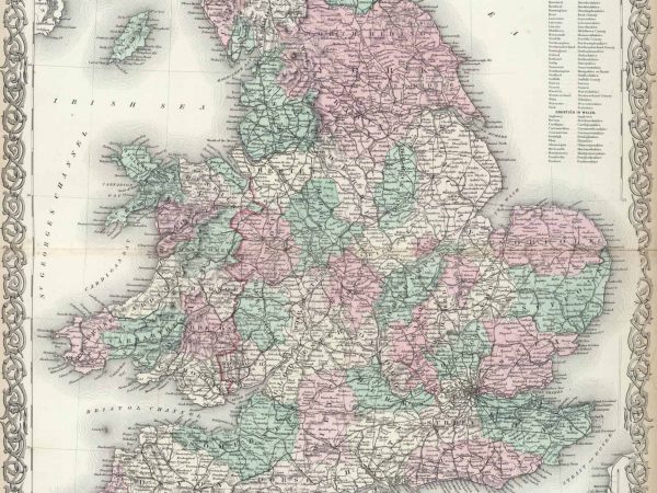
No. 529 British Isles, 1750
- "Isles Britanniques" by Robert Vaugondy from "Methode Abregee et Facile pour Apprendre la Geographie" dedicated to Mme. Crozat and published in 1750 with later outline hand-coloring measures approx 6" x 6"
- Read more
-
-
- Out of Stock
- Sync, England, Ireland & Scotland
No. 567 London, England 1889
- "London" from the IX edition of Encyclopedia Britannica published in London, 1889 nicely detailed map of London - includes most streets, parks and rail lines measures approx 15 1/2" x 10 1/2"
- Read more
-
-
- Out of Stock
- Sync, England, Ireland & Scotland
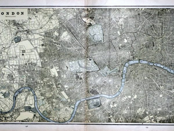
No. 599 London, England 1894
- "London" from George Cram's "Standard Atlas" published in New York, 1894 nicely detailed map of London - includes most streets, parks and rail lines measures approx 14" x 22"
- Read more
-
-
- Out of Stock
- Sync, England, Ireland & Scotland
No. 3955 London, England 1874
- "The Environs of London" by G.W. Colton from his “General Atlas” published by G.W. & C.B. Colton, New York 1874 nicely detailed map of the area around London. Major roads and railways are shown, along with some geographical features and the many hamlets and towns surrounding London. measures approx 13″ x 17″
- Read more
-
-
- Out of Stock
- Sync, England, Ireland & Scotland
No. 3954 England and Wales, 1874
- "England and Wales" by G.W. Colton from his “General Atlas” published by G.W. & C.B. Colton, New York 1874 as with most Colton maps, this features major towns, roads, railways and topographical features. nice decorative border and colors this is a beautiful double-page map showing the countries in great detail measures approx 26″ x 17″
- Read more
-
-
- Sync, England, Ireland & Scotland
No. 546 Ireland, 1896
- $30.00
- "Ireland" from the “National Standard Family and Business Atlas of the World” published by Fort Dearborn Publishing Co. of Chicago, 1896 measures approx 14 1/2" x 11"
- Add to cart
-
- Out of Stock
- Sync, England, Ireland & Scotland
No. 3957 Ireland, 1874
- "Ireland" by G.W. Colton from his “General Atlas” published by G.W. & C.B. Colton, New York 1874 as with most Colton maps, this features major towns, roads, railways and topographical features. nice decorative border and colors measures approx 13″ x 17″
- Read more
-
-
- Out of Stock
- Sync, England, Ireland & Scotland
No. 1801 Ireland, 1799
- Ireland "from the best authorities" by Guthrie from "New Geographical, Historical and Commercial Grammar" published in London, 1799 with outline hand-coloring measures approx 7" x 8 1/2"
- Read more
-