Oceania
Shop our collection of Oceania
Showing 1–12 of 18 resultsSorted by latest
-

No. 6142 Hawaii 1898
$33.00 Add to cart -
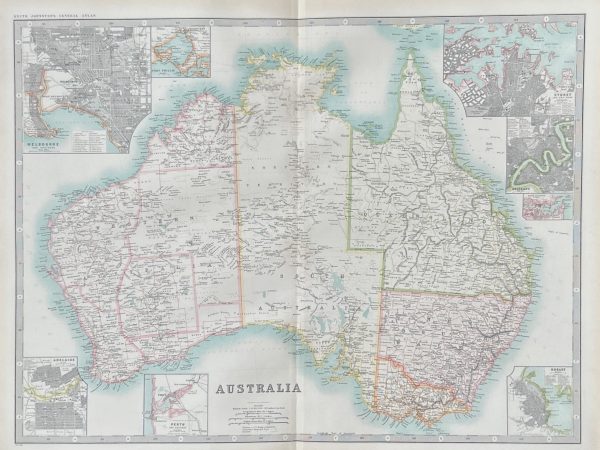
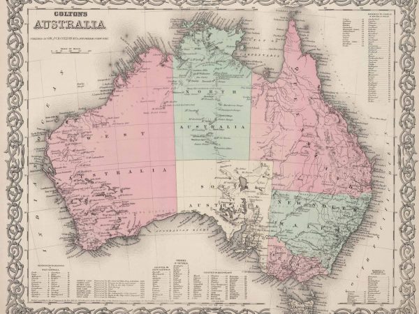
No.5295 Original 1892 Map of Australia
$32.00 Add to cart -
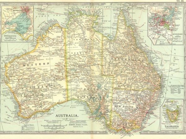
No.6286 Original 1910 Map of Australia
$100.00 Add to cart -
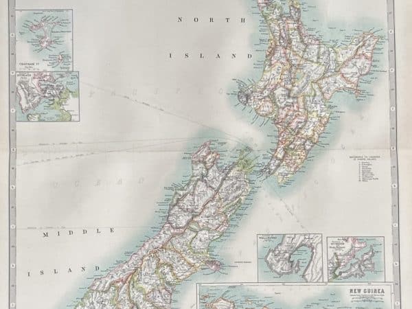
No.6285 Original 1908 Map of New Zealand
$100.00 Add to cart -
No.6287 Original 1910 Map of Oceania
$85.00 Add to cart -
No. 3990 Australia, 1903
$35.00 Add to cart -
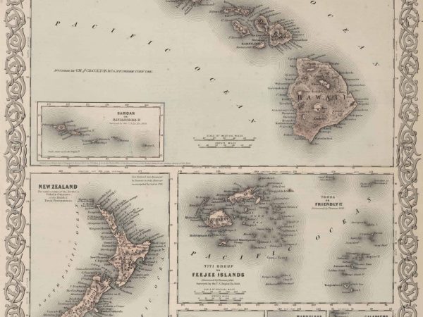
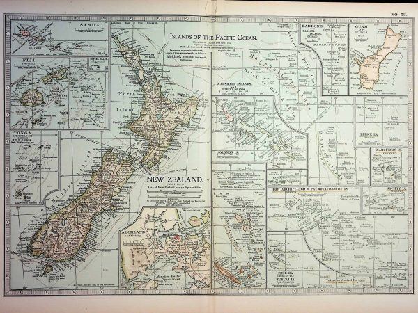
No. 3987 Sandwich (Hawaii) Islands, New Zealand, Fiji 1874
Read more -
No. 3985 Australia, 1874
Read more -
No. 1958 Eastern Hemisphere, 1898
$28.00 Add to cart -
No. 4369 New Zealand & Islands of the Pacific Ocean, 1903
$35.00 Add to cart -
No. 4369 New Zealand & Islands of the Pacific Ocean, 1903
$35.00 Add to cart -
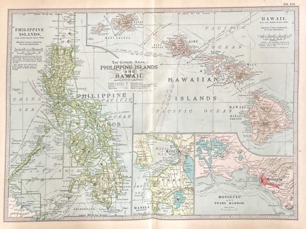
No. 6217 Philippine Islands and Hawaii 1911
$40.00 Add to cart


Frequently Asked Questions
What can I bring in for framing?
Just about anything you like! While most of our projects involve photos, posters, works of art on paper or canvas, and other ‘traditional’ pieces, we love to frame 3-D objects such as sports jerseys, military medals, decorative plates, rugs, and other keepsakes. We also enjoy working on pieces involving multiple items such as mementos from your travels or a special event. If it is important and interesting to you, we can find a way to frame and properly preserve it for display.
What information do I need to tell you about my project?
If you are bringing the item physically into the store, then we have everything we need! We can present you with as many design options as you like. We are happy to suggest our ideas of how we think your item would look its very best, or perhaps you already know exactly what you are looking for. Either way, we will be very happy to work with you.
If you are just looking for a rough quote, feel free to call or email us with your questions. If you would like to do this, we will need to know the size of the item as a starting point. Once we know the size, and what it is (a poster, a photo, a t-shirt, a collection of coins, etc, etc.), then we can walk you through some options and give you some design suggestions.
How much will this cost?
This can vary greatly depending on a number of things. Size is one of the big factors. The materials involved can also affect the price substantially. We have a large variety of frames, from simple black to solid hardwoods, from basic designs to elaborate carvings, from rustic barnwood to colorful lacquers. We carry thousands of different mats for your artwork – many varieties of colors, as well as fabrics, silks and suedes. We also carry several options for glass and acrylic. Mounting down large or bulky items will involve more labor. Elaborate mat designs will also involve more time. We are more than happy to offer you some price guidance over the phone or via email, but we find it always better to bring in your piece and we can show you suggestions in person with an exact quote.
What can you do besides ‘standard’ framing?
We like to think outside of the box to create interesting displays over and above the standard type of frame job. Have 50 baseball cards to display? We can do that, and have the entire display meet preservation standards to protect those cards. Have some memorabilia from a special trip? We can create an interesting shadow box to present them. Would you like some writing on the mat as well? No problem. Perhaps a brass nameplate or title? We can even cut letters and words into the mat itself for some fun displays. Just ask, and we will get as creative as you like!