south america
south america
Home>Products tagged “south america”
-
- Sync, South & Central America
No. 140 South America, 1812
- $58.00
- "South America" published by Longman, Hurst, Rees, Orme & Brown Paternoster Row, London 1812 measures approx 7" x 8 7/8"
- Add to cart
-
- Sync, South & Central America
No. 146 South America, 1851
- $125.00
- "South America" by John Tallis engraved by John Rapkin published in London, 1851 several attractive vignettes and an attractive border surround this map countries are outlined in hand-coloring measures approx 10 1/4" x 14"
- Add to cart
-
- Sync, South & Central America
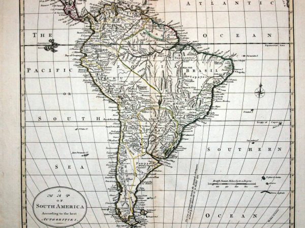
No. 645 South America, 1785
- $325.00
- "A Map of South America" (according to the best authorities) by Thomas Kitchin from "Guthrie's New System of Geography" published by Dilly & Robinson, London 1785 with outline hand-coloring measures approx 17" x 14"
- Add to cart
-
- Sync, South & Central America
No. 675 South America, 1817
- $85.00
- "Amerique Meridionale" engraved by Alexandre Blondeau from an 1820 French publication (map created 1817) with hand coloring measures approx 8 1/4" x 10"
- Add to cart
-
- Sync, South & Central America
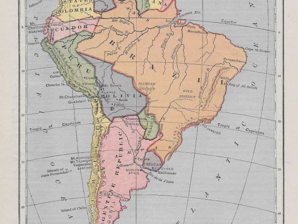
No. 1039 South America, 1886
- $18.00
- "South America" by Samuel A. Mitchell from his "New Primary Geography" published E.H. Butler & Co., Philadelphia PA 1886 measures approx 6" x 8"
- Add to cart
-
- Sync, South & Central America
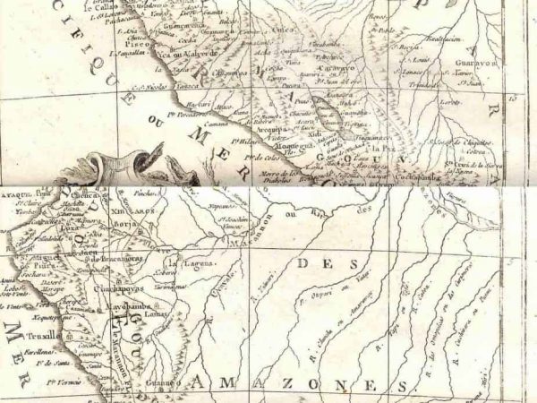
No. 267 Peru, circa 1749
- $50.00
- "Partie Meridionale du Perou" by Robert de Vaugondy from his "Atlas Universel, Portatif et Militaire" published in Paris, circa 1749 with partial (later) hand-coloring outline measures approx 7 1/2" x 8 1/2"
- Add to cart
-
- Sync, South & Central America
No. 274 Peru, 1758
- $68.00
- "Carte du Perou" by Jacques Bellin published in Paris, circa 1758 a very 'vertical' map, showing the length of Peru and detailing the known towns and villages of the time measures approx 9 5/8" x 16 3/8"
- Add to cart
-
- Sync, South & Central America
No. 3950 Peru & Bolivia, 1874
- $65.00
- "Peru and Bolivia" with detailed inset map of Lima by G.W. Colton from his “General Atlas” published by G.W. & C.B. Colton, New York 1874 as with most Colton maps, this features major towns, roads, railways and topographical features of these countries nice decorative border and colors measures approx 13″ x 17″
- Add to cart
-
- Sync, South & Central America
No. 646 Peru, 1683
- $55.00
- "Perou" by Alain Mallet from his “Description de l'Univers” published in France, 1683 measures approx 8" x 6"
- Add to cart
-
- Out of Stock
- Sync, South & Central America
No. 3947 South America, 1874
- "South America" by G.W. Colton from his “General Atlas” published by G.W. & C.B. Colton, New York 1874 as with most Colton maps, this features major towns, roads, railways and topographical features of the countries of South America nice decorative border and colors measures approx 13″ x 17″
- Read more
-
-
- Sync, South & Central America
No. 3949 Brazil & Guyana, 1874
- $65.00
- "Brazil and Guyana" with inset maps of Rio de Janeiro and Pernambuco by G.W. Colton from his “General Atlas” published by G.W. & C.B. Colton, New York 1874 as with most Colton maps, this features major towns, roads, railways and topographical features of these countries nice decorative border and colors measures approx 13″ x 17″
- Add to cart
-
- Sync, South & Central America
No. 3948 Venezuela, Columbia & Ecuador, 1874
- $50.00
- "Venezuela, United States of Columbia and Ecuador" by G.W. Colton from his “General Atlas” published by G.W. & C.B. Colton, New York 1874 as with most Colton maps, this features major towns, roads, and topographical features of these countries nice decorative border and colors measures approx 13″ x 17″
- Add to cart