colton
Showing 1–9 of 115 resultsSorted by latest
-

No. 3937 Dakota (North & South Dakota), 1874
$95.00 Add to cart -
No. 3937 Dakota (North & South Dakota), 1874
$95.00 Add to cart -
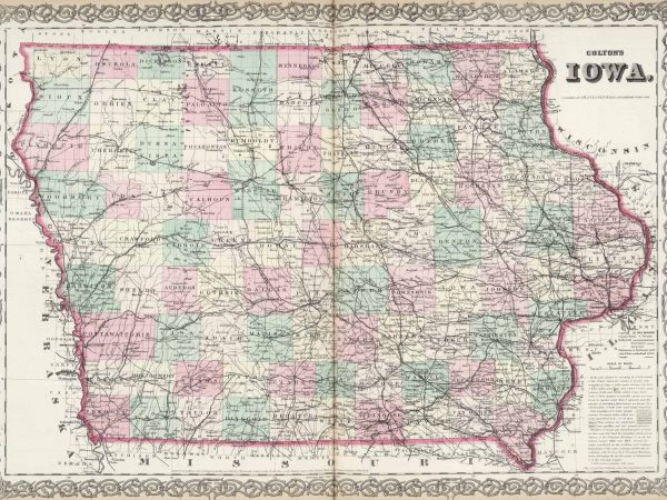
No. 3933 Iowa, 1874
$50.00 Add to cart -
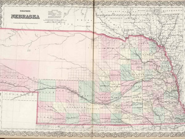
No. 3936 Nebraska, 1874
$75.00 Add to cart -
No. 3938 Kansas, 1874
$60.00 Add to cart -
No. 3822 Kentucky & Tennessee, 1874
$125.00 Add to cart -
No. 3822 Kentucky & Tennessee, 1874
$125.00 Add to cart -
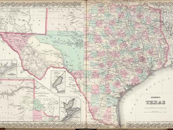
No. 3820 Texas, 1874
$150.00 Add to cart -
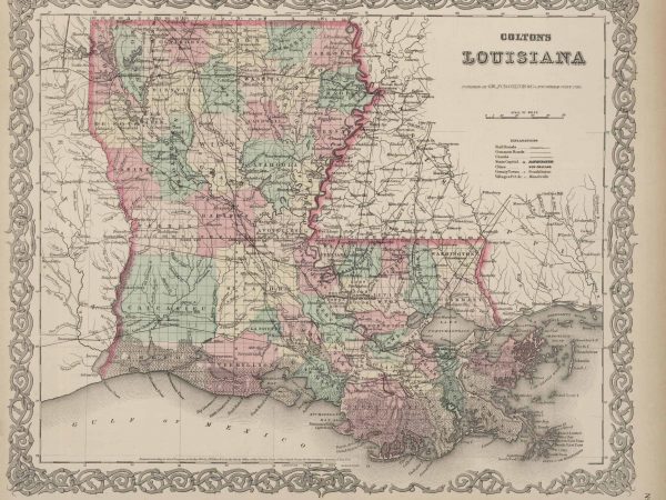
No. 3818 Louisiana, 1874
Read more