boston
Showing 1–9 of 11 resultsSorted by latest
-

No. 6137 Boston /Portland Maine 1898
Read more -

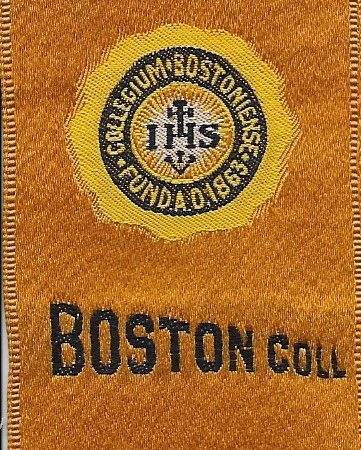
No. 2695 Boston College tobacco silk, 1910
Read more -
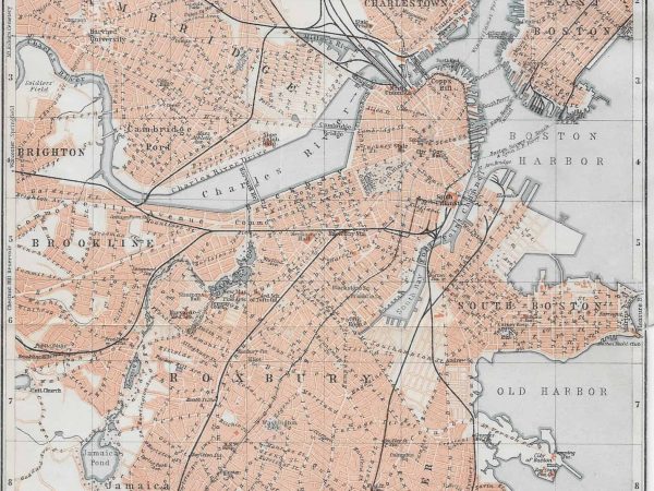
No. 1120 Boston, 1909
Read more -
No. 556 Boston, 1888
$30.00 Add to cart -
No. F104 Boston Harbor to Cape Cod, 1920
Read more -
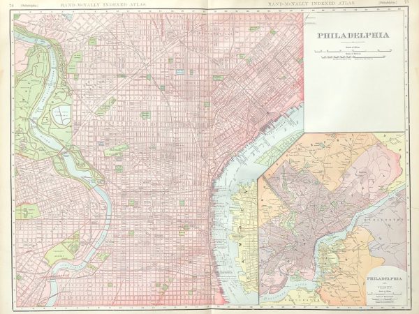
No. 6100 Philadelphia, 1907
$150.00 Add to cart -
No. 6104 Boston, 1907
$200.00 Add to cart -
No. 3802 Boston, 1874
Read more -
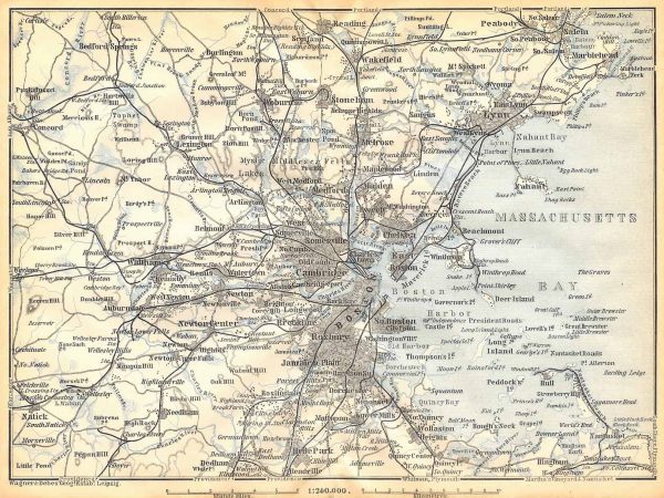
No. 1117 Greater Boston/Massachusetts Bay, 1909
$25.00 Add to cart